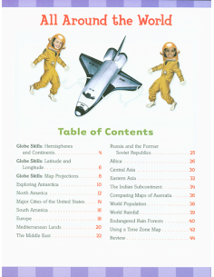


Give your intermediate student the advantage of working with this best-selling atlas. Clearly organized by continent, Rand McNally's Classroom Atlas is packed with photographs, graphs, critical-thinking questions, brain teasers, and charts that illustrate map concepts.
Includes essential how-to information on using an atlas. Contains more than 90 physical, political, and thematic maps. Includes information to help students use atlas. Full color. Copyright 2015. Dimensions: 8.5 x 10.75 inches. Soft cover. 208 pp.
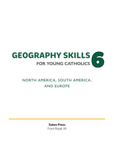
Geography Skills 6 for Young Catholics: North America, South America, and Europe
"The customer did not leave a comment."
"The customer did not leave a comment."
"The customer did not leave a comment."
check_circle
check_circle

